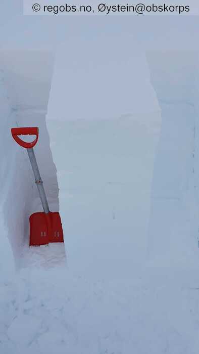
Image 1 of 13 Of: Snow Profile Copyright: Øystein@obskorps Comment: Lille blokktest før frigjøring.
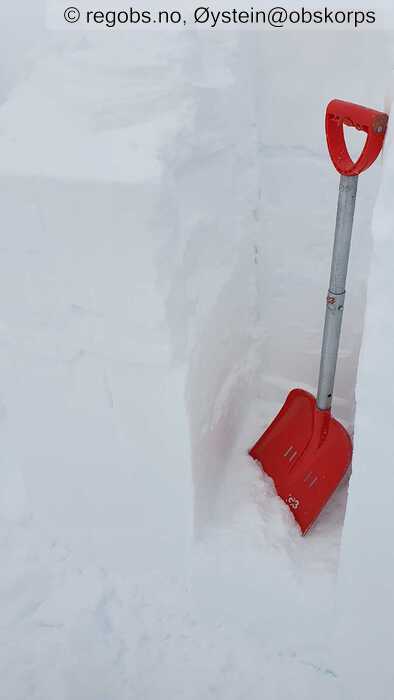
Image 2 of 13 Of: Snow Profile Copyright: Øystein@obskorps Comment: LBT@42cm Q3.
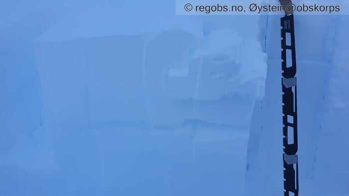
Image 3 of 13 Of: Snow Profile Copyright: Øystein@obskorps Comment: ECTN12@23cm. Q2.
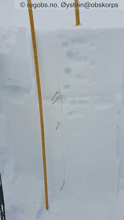
Image 4 of 13 Of: Snow Profile Copyright: Øystein@obskorps Comment: Snøprofil. Over mildværsskaren fra søndag/mandag ligger ca 30 cm myk vindtransportert snø av noe varierende hardhet.
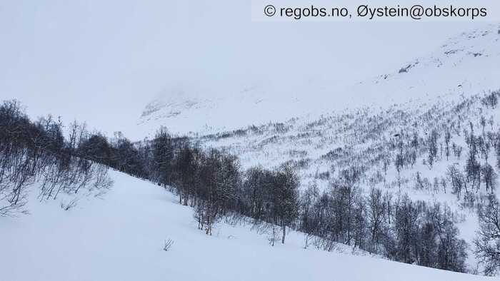
Image 5 of 13 Of: Weather Copyright: Øystein@obskorps Comment: Bildet er tatt ca 750 moh, sørvestover. Vekslende skydekke med byger. Skydekket ligger ned mot 1100m.
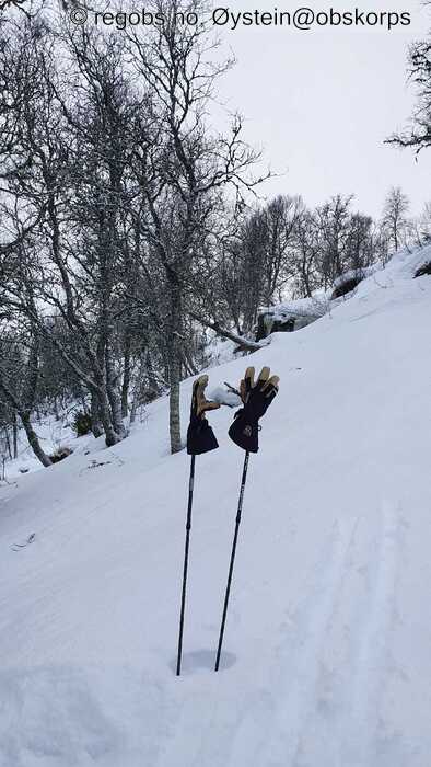
Image 6 of 13 Of: Snow Cover Copyright: Øystein@obskorps Comment: Ca 700 moh. Brytende skare fra i natt, delvis smelta av ny nedbør.
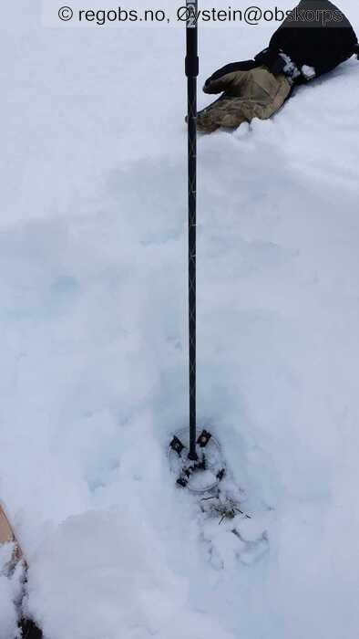
Image 7 of 13 Of: Snow Cover Copyright: Øystein@obskorps Comment: 700 moh. Snødekket er stort sett homogent og består av ulike smelteformer.
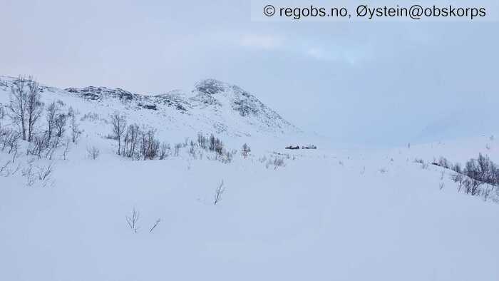
Image 8 of 13 Of: Snow Cover Copyright: Øystein@obskorps Comment: Stølene i Slettedalen, sett fra vest. Ca 850 moh.
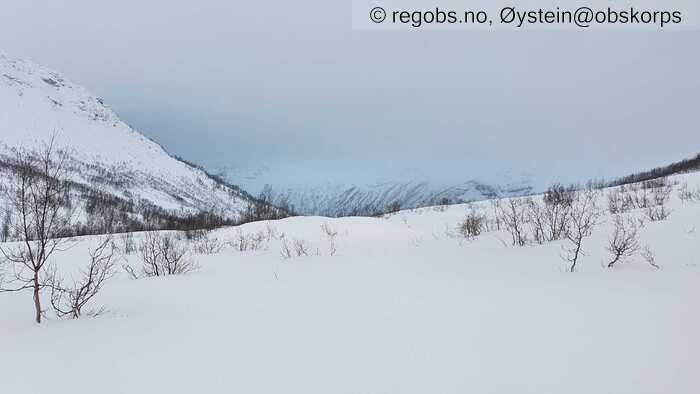
Image 9 of 13 Of: Snow Cover Copyright: Øystein@obskorps Comment: Ca 850 moh. Vestover mot Jordalen.
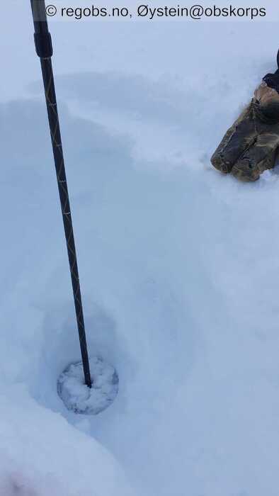
Image 10 of 13 Of: Snow Cover Copyright: Øystein@obskorps Comment: Ca 850 moh. Ca 5cm nysnø over mildværsskare. Under skaren er snøen fuktig og finkornet. Harde lag av smelteformer siste 40-50 cm mot bakken. Total snødybde ca 85 cm.
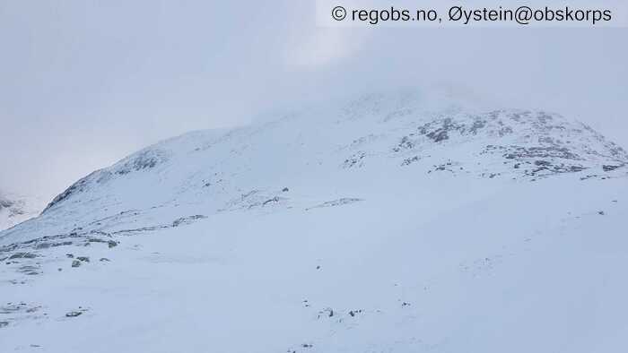
Image 11 of 13 Of: Snow Cover Copyright: Øystein@obskorps Comment: Nordvendt flanke, 900-1200 moh.
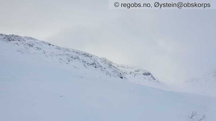
Image 12 of 13 Of: Snow Cover Copyright: Øystein@obskorps Comment: Sør- og sørvestvendt flanke i retning Kråkenosi, 900-1300 moh.
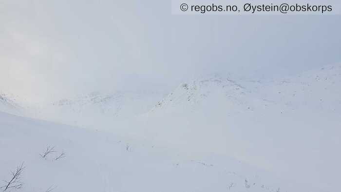
Image 13 of 13 Of: Snow Cover Copyright: Øystein@obskorps Comment: Nordvendte flanker i Slettedalen, 900-1300 moh.
Danger Sign
• Recent snowdrift • Område: Generelt på fjellet. Beskrivelse: Periodevis lett snøfokk over ca 900m. Små mengder nysnø tilgjengelig for vindtransport.
Avalanche Activity
• 10. Jan. During the day (+01:00) • No avalanche activity • Hadde begrenset sikt i dag.
Weather
• Snow • -2.4 °C • 7 m/s from SW ↗ • 90% clouds • Fortsatt mildt vær, men noe kjøligere enn i går. Tendens til inversjon. Lett snøvær i fjellet, tidvis nok vind til å gi lett snøfokk over ca 900m. Nysnøgrense ca 700m i Jordalen.
Snow Cover
• Some snow drift • 5 cm • Elevation of new snow 700 masl. Snow line at 50 masl. Layered snow begins at 800 masl • Some loose snow (1-10cm) • Dry • Ok • Snødekket er tydelig prega av mildværet som har pågått siden lørdag ettermiddag. Tydelig mildværsskare også på 1100m. Under tregrensa er snødekket nå stort sett gjennomfuktet og homogent (MF). Over ca 800m har overflaten frosset til og det har lagt seg rundt 5 cm nysnø oppå. Vinden flytter på nysnøen over ca 900m. I høyfjellet er snødekket sterkt vindpåvirka. Rygger, knauser og brattheng som vender mot S og V er avblåst. Jeg leita ikke etter bakkenær kantkorn i dag. Vil tro at der kantkornlaget er intakt, er det stort sett dekket av bærende snø.
Tests
• LBT@8cm(Q3) • Fikk et delvis brudd i overflatesnøen ved utgraving.
• LBT@42cm(Q3) • Brudd i lag av DF under skare. Tredje lasttrinn.
• ECTN12@23cm(Q2) • Medium • Brudd i sjikt av DF.
• ECTN19@41cm(Q2) • Good • Brudd i løst lag av DF.
Snow Profile
• N • 20° • 2 tests connected to snow profile • Gravde på et sted som er representativt for dagens skredproblem. Leheng med mye snø, minst 3m dypt. • 6 Stratigraphy layers • 8 temperature points observed
Avalanche Problems
• Dry slab avalanche • Buried weak layer of new snow • Within half a meter • The overlying slab is soft. A big and identifiable crystal in the weak layer. • Easy to trigger • 2 - Medium • Some steep slopes N, NE, E, NW above 900 masl • Det dannes grunne, myke fokksnøflak i hengretninger mot nord og øst og i skjermede terrengformasjoner. Dette er dagens skredproblem.
Avalanche Danger Assessment
• Vind fra SV og noen cm nysnø fører til dannelse av ferske fokksnøflak i hengretninger mot nord og øst. Flakene kan løses ut av en skiløper, men vil stort sett være små. Mildværsgrensa ligger på ca 700m nå i formiddag. Under mildværsgrensa virker snødekket stabilt, lite sannsynlig med våte skred i dag. Snødekket er tydelig mildværspåvirket opp til obspunktet. • Nytt kraftig frontsystem er på vei inn, og gir mildvær og mye nedbør i morra. Økende skredfare. • 2 Moderate • Forecast correct

