Image 1 of 8 Of: Notes Copyright: Martin_S@obskorps
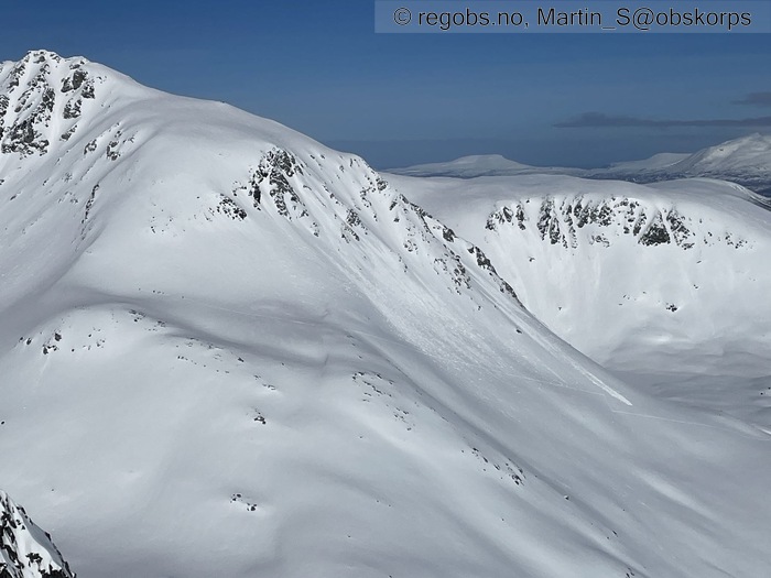
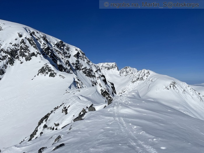
Image 2 of 8 Of: Notes Copyright: Martin_S@obskorps Comment: Folk på vei opp årbodaltinden, der Una fikk drønn forrige uke. Ser ut å gå helt fint
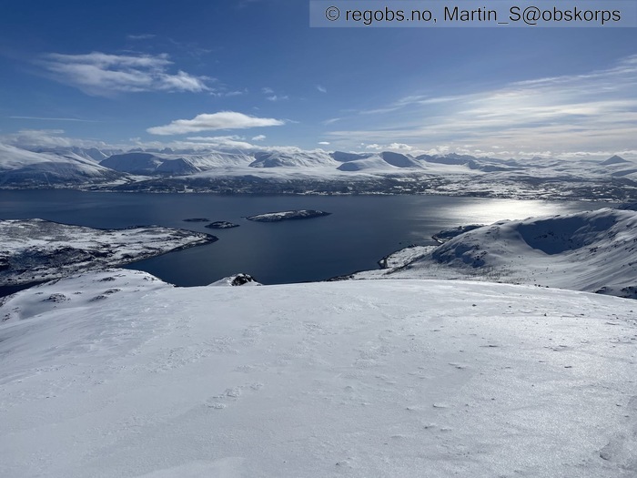
Image 3 of 8 Of: Notes Copyright: Martin_S@obskorps
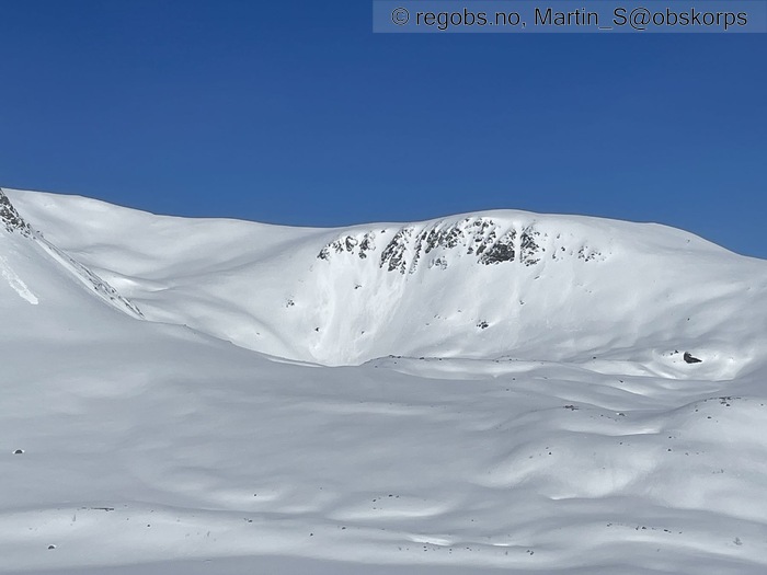
Image 4 of 8 Of: Avalanche Activity Copyright: Martin_S@obskorps
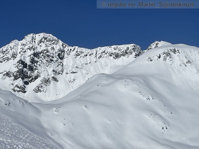
Image 5 of 8 Of: Avalanche Activity Copyright: Martin_S@obskorps

Image 6 of 8 Of: Weather Copyright: Martin_S@obskorps
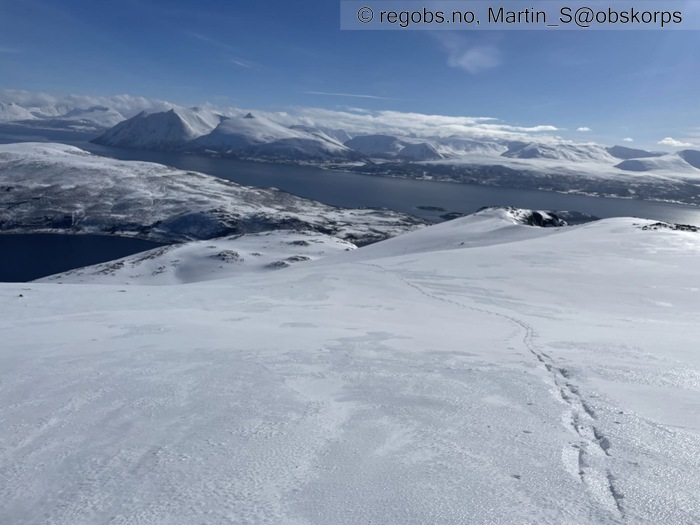
Image 7 of 8 Of: Snow Cover Copyright: Martin_S@obskorps
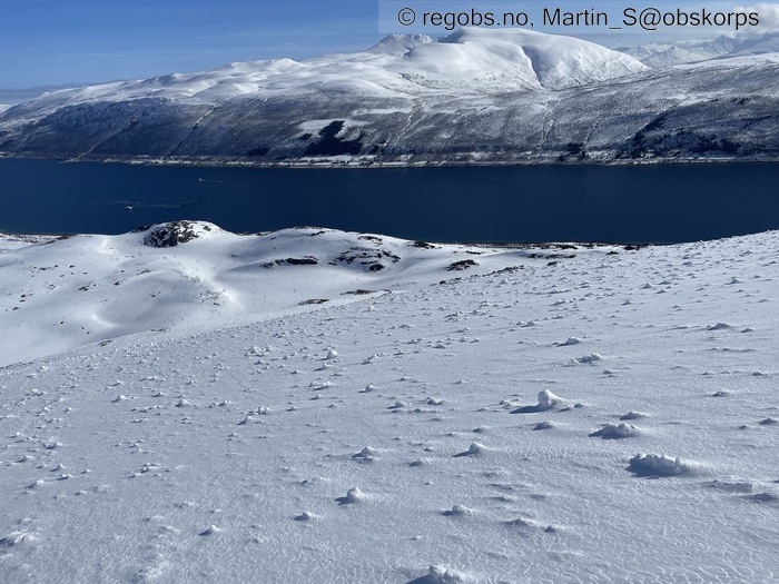
Image 8 of 8 Of: Snow Cover Copyright: Martin_S@obskorps Comment: Mange gamle rulleballer, selv i veldig slak terreng uten eksponering for løsneområder
Danger Sign
• No signs observed • Bortsett fra små våte løssnøskred så var det ikke noe faretegn å se i dag
Avalanche Activity
• 11. Apr. During the day • Loose wet avalanche • Numerous (10 or more). Spontaneous release • Mange våte løssnøskred i flere himmelretninger. Usikker på tidspunkt, men tipper det meste løsnet i går, jeg så ikke noe særlig som løsnet i dag. Klarte selv å løse ut noe småtterier på kuler under skoggrensa, men i høyden virker sønnavinden og utstrålingen kjøle av
Weather
• No precipitation • 5 °C • 5 m/s from S ↑ • 20% clouds • Varmt, med S bris som kjøler litt. Tipper nullisoterm rundt400-500 moh, men vanskelig å si grunnet utstråling
Snow Cover
• 300 cm • Some snow drift • I lavlandet smelteomvandlet, men ikke råttent. Øvre 15 cm begynte å bli bra vått på tur ned ved kl. 13. Over ca 400 moh 2cm fuktig, litt klissete nysnø på brytende MFcr. Ingen flakdannelse av betydning, og gamle kantkorn fra Påskeuken er fuktig og rundet.
Snow Profile
• mener den er mer eller mindre representativ for store områder over 300-400 moh. Detaljene skiller, men de store trekkene med brytende skare over noe klissete greier er likt • Persistent weak layer: thin layer, below slab, near surface
Avalanche Problems
• Loose wet avalanche • Loose snow • Easy to trigger • 1 - Small • Some steep slopes SE, S, SW, W below 300 masl • Jeg klarte å trykke noen små våte løssnøskred på kuler i skogen der sola tar litt og trær stopper utstråling. Det løsnet ikke noe naturlig som jeg fikk med meg i løpet av turen
Avalanche Danger Assessment
• Våte løssnøskred og ødelagte knær i brytende skare virker være de største farene i dette terrenget. Klarte ikke å finne noen flak, og ikke heller noen svake lag. Nysnøen er klissete og virker sitte godt mot skaren. Det kan ikke utelukkes at det ser annorledes ut andre steder, men her blir jeg overrasket om noen får ut et flak i dag. Mulig det kan gå enkelte naturlige løssnøskred, men det var ikke noe jeg opplevde, og vinden kjøler litt i høyden. • Mye mildvær hit og dit nå...stigende mildværsgrense og regn i morgen vil vel sannsynligvis spule ut det som kom av nysnø i går, så en del vått løst får vi vel regne med. • 2 Moderate • Forecast correct • Adam gir meg en slapp toer på våtsnøproblemet. Leser man faregradskalan kan både 1, 2 og 3 passe. Selv syns jeg skredfareteksten stemmer godt med det jeg opplevde, hovedbudskap var nok skarpere enn forholdene er her, men kanskje er riktig ellers i regionen, det vet jeg ikke.
Notes
• Kun noen få cm klissete nysnø helt til topps. Jeg finner hverken flak eller svakheter i dette terrenget.

