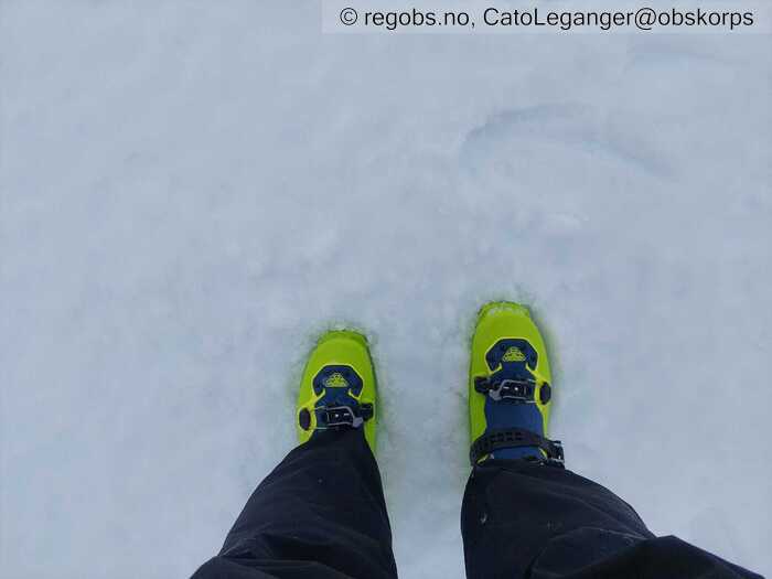
Image 1 of 6 Of: Snow Cover Copyright: CatoLeganger@obskorps
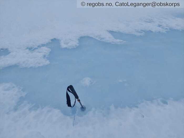
Image 2 of 6 Of: Snow Cover Copyright: CatoLeganger@obskorps
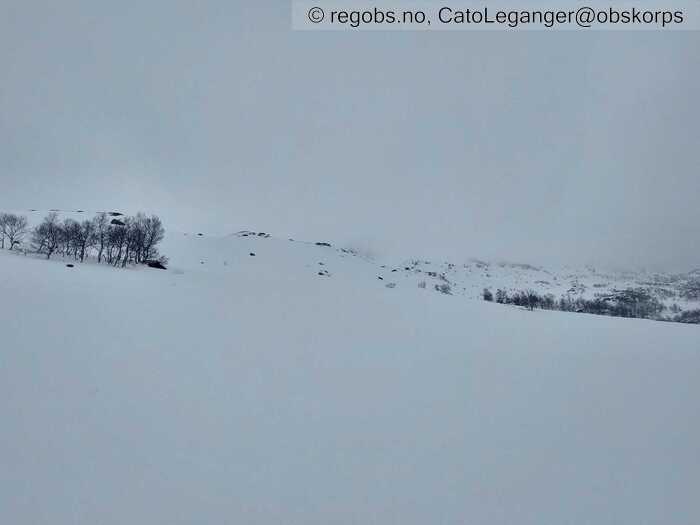
Image 3 of 6 Of: Snow Cover Copyright: CatoLeganger@obskorps
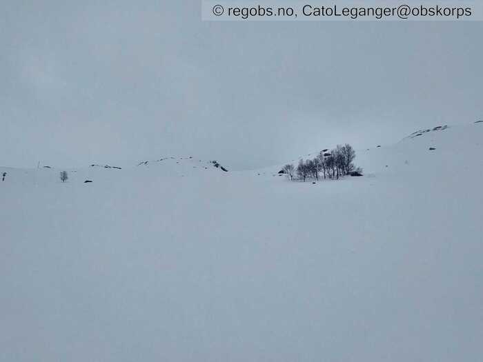
Image 4 of 6 Of: Snow Cover Copyright: CatoLeganger@obskorps
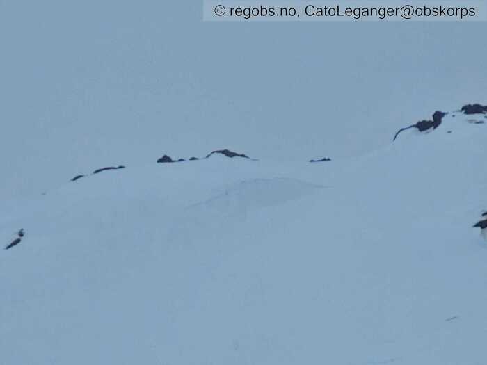
Image 5 of 6 Of: Avalanche Activity Copyright: CatoLeganger@obskorps Comment: Observerte to-tre tilsvarande skred med tilsvarande brotkant. Truleg gått ut som følgje av auka nedbørsintensitet - vatn langs skarelag - overliggande våte flak har sklidd ut. Eit av skred tendenserte til str. 2, men det var flatt lys, så det var vanskeleg å vurdere på avstand.
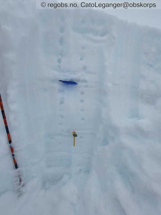
Image 6 of 6 Of: Snow Profile Copyright: CatoLeganger@obskorps
Danger Sign
• Much water in the snow • Område: Generelt på fjellet. Beskrivelse: Relativt mykje vatn i snøen. Opphopning rundt eldre og delvis nedbrotne skarelag/hardare smeltepakke i botn - men det ser ut til at vatnet drenerer relativt greit igjennom snøpakken.
Avalanche Activity
• 11. Feb. 18-24 (+01:00) • Wet slab avalanche • Few (2-5). 1 - Small. Spontaneous release • Few steep slopes. N, NE, E, SE, S, SW, W, NW. Between 900 masl and 700 masl • Truleg drenert vatn ut langs skarelag. Ikkje ferske.
Snow Cover
• 70 cm • No snowdrift • Snow line at 500 masl. Layered snow begins at 600 masl • Wet loose snow • Wet • Ok • Våt overflate. Luggar godt. Truleg aktuelt opp til 1100-1200 moh. Tilsvarende i alle himmelretningar. Grov ein profil i leformasjon mot nord for å sjå om midværet hadde teke knekken på alt av skarelag/islag/lagdeling over smeltepakken i botn, noko det hadde gjort på høgda eg var i dag. Truleg tilsvarande relativt høgt til fjells. I dag må ein nok over 1200 moh for å finne noko som minnar om tørrare snø.
Weather
• Rain • 2.6 °C • 7 m/s from W → • 100% clouds • Nordvest-vest. Mildt og fuktig. Solide mengder nedbør den siste tida. Overgang frå snø til regn frå fredag morgon. Mildt høgt til fjells. Truleg rundt 0 grader på 1200 moh i dag. Likt for heile regionen.
Tests
• LBT@18cm(Q3) • Våte laussnøskred som er aktuelt.
Snow Profile
• N • 22° • Mengde snø ikkje representativt for terrenget generelt. Var på jakt etter å sjå korleis snøen drenerte vatn nedover snøpakken - for å sjå om eldre skarelag var brotne ned. Ser relativt greit ut. Tendens til litt opphopning rundt skarelag, der rasterplata og temp målar står. Øvste punkt uproblematisk. Nedste er litt hardere, men det er ikkje trøbbel per no. Skal mykje nedbør til før det itgjer eit problem. • 7 Stratigraphy layers • 6 temperature points observed
Avalanche Problems
• Loose wet avalanche • Loose snow • Easy to trigger • 2 - Medium • Few steep slopes N, NE, E, SE, S, SW, W, NW below 1200 masl • Truleg str 1, men ved auke i nedbørsintensitet så kan det framleis gå str 2. Tendens til litt opphopning av vatn rundt eldre og nedbrotne skarelag, men det ser ut til at vatnet drenerer greit gjennom. Såg nokre eldre str 1, våte flakskred som truleg har gått ut på dette. Mogleg eitt str 2, men ikkje ferske.
Avalanche Danger Assessment
• Ver obs på våt og tung snø. Det kan vere lett å løyse ut skred i den våte snøen. I høgda kan det vere ustabile fokksnøflak. Dei kan vere mogleg å løyse ut under- og kort tid etter vindtransport, men antas å stabilisere seg relativt raskt. • Evt fokksnøflak i høgda vil truleg stabilisere seg raskt pga gunstige temp. Enn så lenge vind og nedbør står på så er det aktuelt med str 2 skred.
Om nedbøren avtar så går vi mot ein relativt raskt stabilisering av våte skredproblem. Enn så lenge fordrer situasjonen faregrad 2, men det er ikkje umogleg med FG 1 frå sundag kveld og dei neste dagane - avhengig av om værprognosane slår til. Evt fokksnøproblem vil ha liten utbreiing. • 2 Moderate

