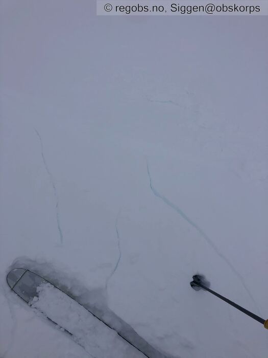
Image 1 of 14 Of: Danger Sign Copyright: Siggen@obskorps Comment: Skavel uten understøtte sprekke opp myke
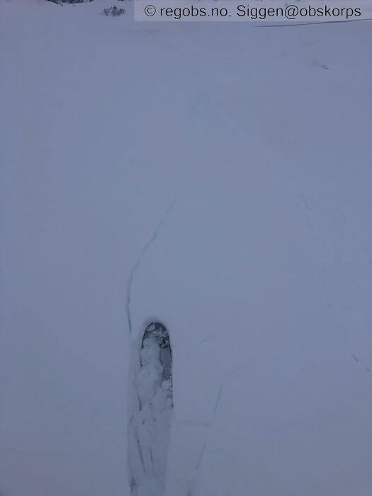
Image 2 of 14 Of: Danger Sign Copyright: Siggen@obskorps Comment: Samme skavel
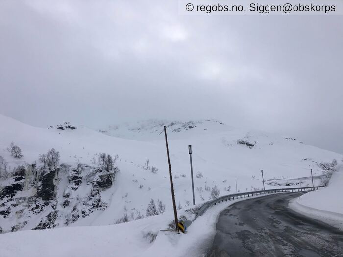
Image 3 of 14 Of: Snow Cover Copyright: Siggen@obskorps Comment: Finnbufjellet / nuten ser fortsatt tydelig bruddkanten etter skred fra forigge uke.
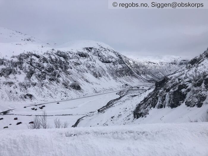
Image 4 of 14 Of: Snow Cover Copyright: Siggen@obskorps Comment: Kvassdalen
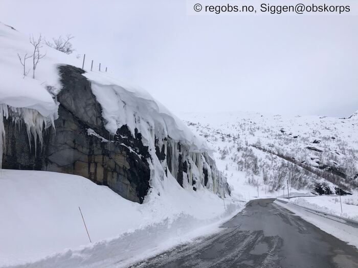
Image 5 of 14 Of: Snow Cover Copyright: Siggen@obskorps Comment: Fersk skavel
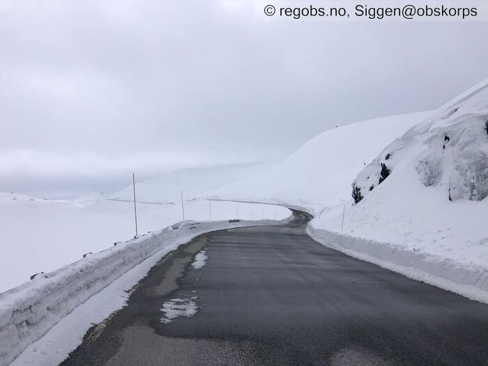
Image 6 of 14 Of: Snow Cover Copyright: Siggen@obskorps Comment: Skjellingavatnet veibanen var stort sett med partier med slaps / snø
Image 7 of 14 Of: Snow Cover Copyright: Siggen@obskorps Comment: Skjellingavatnet
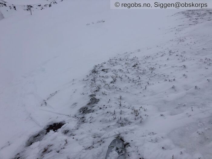
Image 8 of 14 Of: Snow Cover Copyright: Siggen@obskorps Comment: Helt avblåst så innblåst til venstre
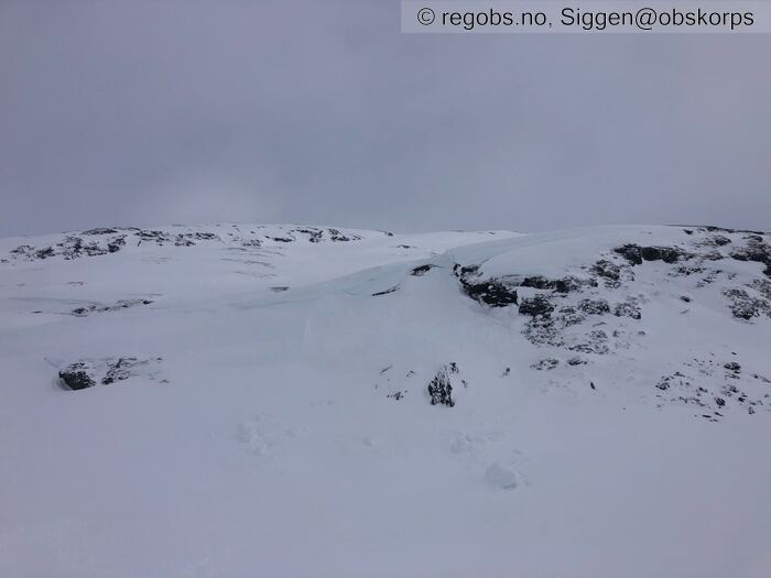
Image 9 of 14 Of: Snow Cover Copyright: Siggen@obskorps Comment: Skavel har også løsna litt fra denne med usikker på når, var også løsna litt på Onsdag sist uke.
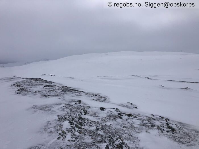
Image 10 of 14 Of: Snow Cover Copyright: Siggen@obskorps Comment: Vikafjellet avblåst på kuler - topper fersk snø i øst men snø også i vest og nord noe mindre i syd.
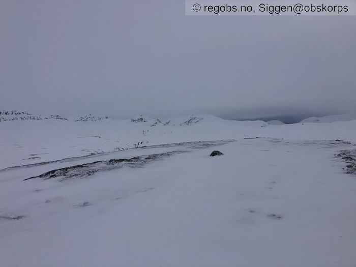
Image 11 of 14 Of: Snow Cover Copyright: Siggen@obskorps Comment: Retning Voss
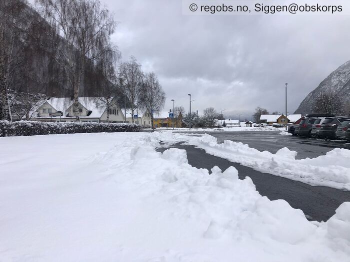
Image 12 of 14 Of: Snow Cover Copyright: Siggen@obskorps Comment: Vik sentrum ca 18 cm fuktig nysnø
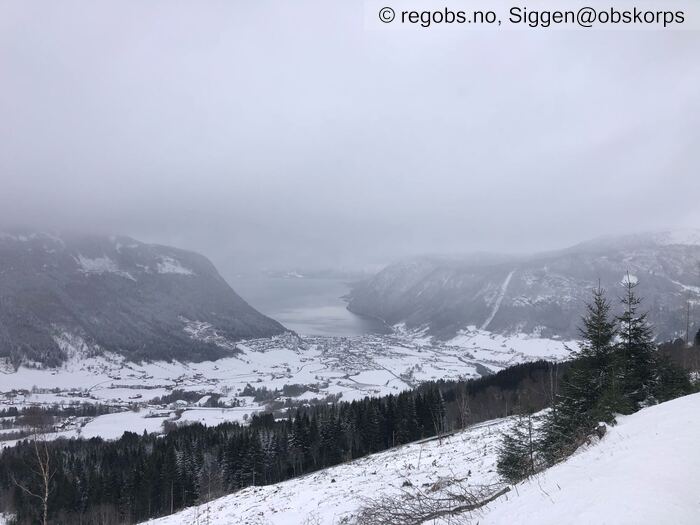
Image 13 of 14 Of: Snow Cover Copyright: Siggen@obskorps Comment: Vik igjen i vinterdrakt
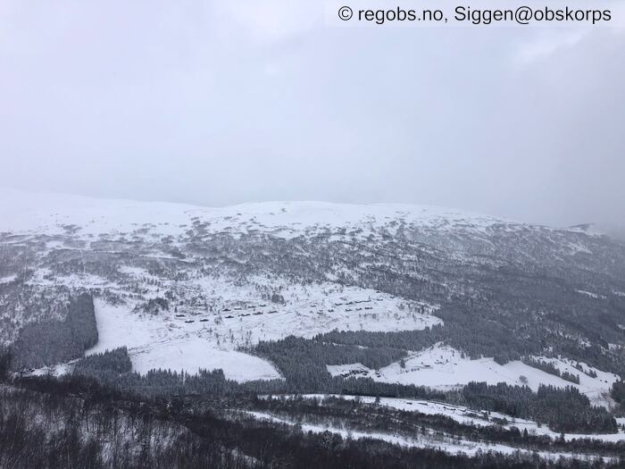
Image 14 of 14 Of: Snow Cover Copyright: Siggen@obskorps Comment: Hyttefelt på ca 500moh "Vik fjelllansby"
Danger Sign
• Recent cracks • Sprekker i ferske myke skavler
Avalanche Activity
• 6. Apr. During the day • No avalanche activity • Kjørte videre når veien åpnet for fri ferdsel til toppen av svingene i Kvassdalen så ingen ting. Men ser de eldre skred fortsatt tydelig fra tidligere i forigge uke.
Weather
• No precipitation • -3 °C • 4 m/s from W → • 100% clouds • Været ble noe lettere og solen kastet skygge et par minutter der, noe blind når jeg var på tur. Betydlig bedre sikt når jeg kjørte meg den bilturen etter skituren.
Snow Cover
• Se tidligere medling noen bilder her
Avalanche Problems
• Dry slab avalanche • Buried weak layer of new snow • Within half a meter • Easy to trigger • 2 - Medium • Some steep slopes NE, E, SE, S above 700 masl • Fersk innblåst snø i le heng. Alt fra myke til harde flak. Enkelte str 3 skal ikke utelukkes med de skal trolig mer til å løse ut. Der det er mykest er det lettest å løse ut , svært lett enkelte steder men da blir skredene trolig str 1.
• Dry slab avalanche • Buried weak layer of faceted snow near surface • Within half a meter • Difficult to trigger • 3 - Large • N, NE, E, SE, S, SW, W, NW above 1300 masl • Eldre kantkorn tipper her har ikke vært så høyt
Avalanche Danger Assessment
• Vinter igjen til fjorden. Ca 20cm nysnø der nede fuktig til enn 600moh tørr det jeg statet tur på 900moh gikk til 1100moh. Vekslende hardhet på fokksnøe alt fra nærmest helt løs til nesten bærende på ski. Skal ulikt belastning til å løse ut letteste å løse ut de myke men de harde blir større. Eldre dekke har fryst til og er regna som stabilt. Stor forskjell på le og lo , lo sider er mye helt avblåst også kuler/topper /rygger er mye det • Fokksnøen vil stabileres virker ikke så mye futt i den i dag, og vil trolig være vanskelige å løse ut videre utover dagen og morgendagen. Før det kommer en ny runde med fersk nysnø på Torsdag ettermiddag , da blir det igjen lettere. Mot helgen noe snø fredag lørdag før det skal bli lettere igjen. De vil være denne nye snø som vil være skredproblem lettest å løse ut når været står på og den er fersk. Kanten vil være i høyden. Hvis solen tittet frem så løsner den rask kald tørr løs snø, skal ikke mange minutter midt på dagen nå får det evt skjer. Spesielt i lune bratte sider vendt mot solen. Den kan også løsne ut flak skred, blir en ganske brå temp økning der solen varmer. Det er svinginger i temperaturen igjennom døgnet. • 2 Moderate • Synes det ser bra ut for kommende dager. Men kan kanskje få med at det mange plasser er helt avblåst ned til mildværskare / lyng. Mens ferskest fokksnø ligger i le med ulik hardhet. Står jo kanskje det men var dette med avblåst som kunne ha stått. Og at det har kommet nysnø til fjorden kan jo også stå. Men alt i alt synes jeg det ser bra ut. Fint å få med dette med soloppvarming og at fremover hvis solen varmer solsider vil det være ulik fuktighet på snøen i sol vs skyggesider.

