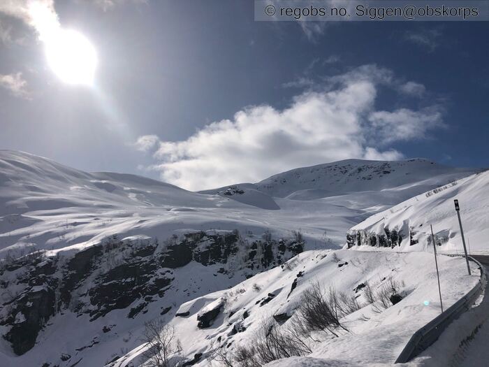
Image 1 of 10 Of: Weather Copyright: Siggen@obskorps Comment: Mot Finnbufjellet fint vær men sur vind først på dagen, før det skyet helt over.
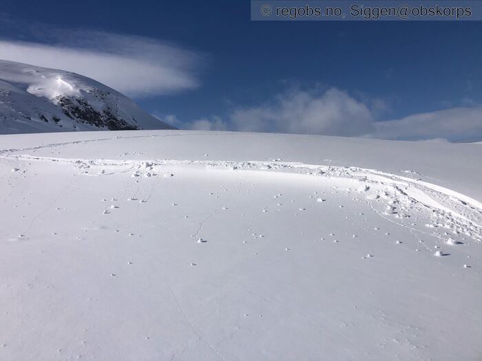
Image 2 of 10 Of: Snow Cover Copyright: Siggen@obskorps Comment: Innblåst fersk snø
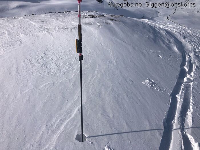
Image 3 of 10 Of: Snow Cover Copyright: Siggen@obskorps Comment: Østlig fersk snø
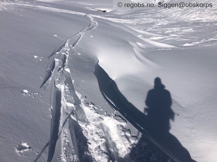
Image 4 of 10 Of: Snow Cover Copyright: Siggen@obskorps Comment: Fra ca 750moh sprekke noe opp men ganske temp.
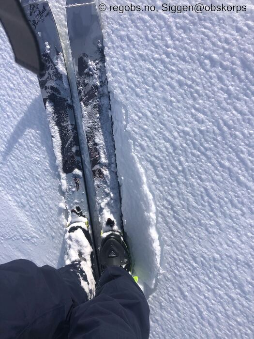
Image 5 of 10 Of: Snow Cover Copyright: Siggen@obskorps Comment: Slik er snøoverflaten stort sett ved Finnbufjellet tynn is hinne , ekkelt skiføre
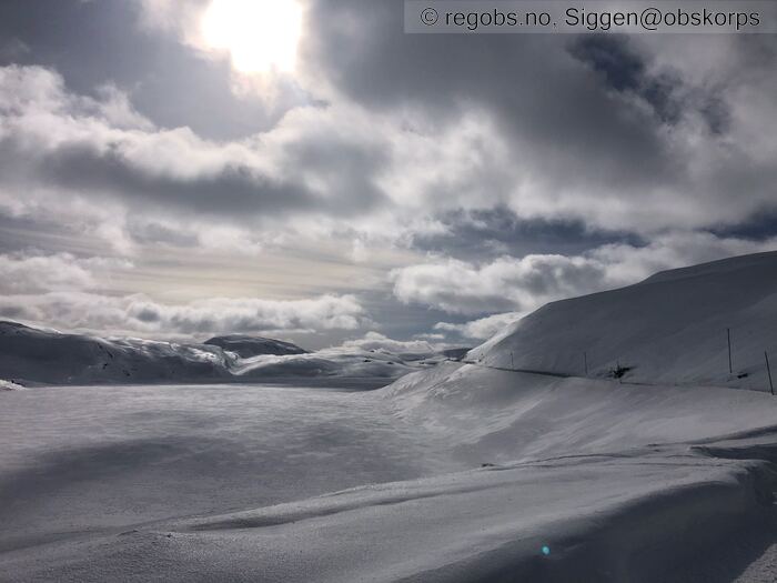
Image 6 of 10 Of: Snow Cover Copyright: Siggen@obskorps Comment: Skjellingavatnet
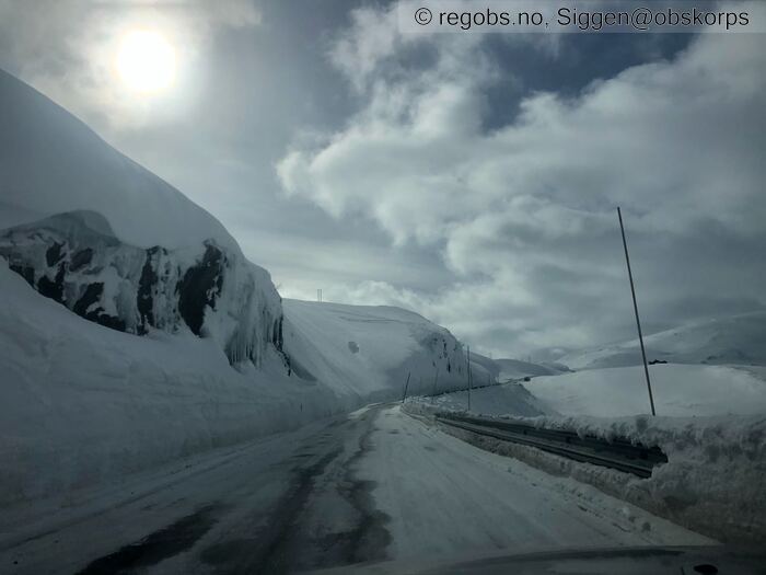
Image 7 of 10 Of: Snow Cover Copyright: Siggen@obskorps Comment: Yngnisdalen
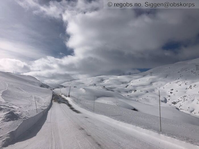
Image 8 of 10 Of: Snow Cover Copyright: Siggen@obskorps Comment: Ygnisdalen solen varmer svart veibane slik at det smelter enkelte steder.
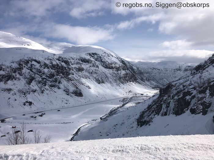
Image 9 of 10 Of: Snow Cover Copyright: Siggen@obskorps Comment: Kvassdalen
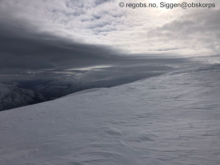
Image 10 of 10 Of: Snow Cover Copyright: Siggen@obskorps Comment: Mot Myrkdalen og Vinje / Voss. Vanskelig å se at her er det et tynn ishinne på snøoverflaten
Danger Sign
• Recent cracks • Enkelte småsprekker i fersk fokksnø mot øst. Sprekker opp enten på løsere snø / overflatekant eller skaren.
Avalanche Activity
• 21. Mar. During the day (+01:00) • No avalanche activity • Ikke sett noe god sikt først på dagen. Har sett sol utløste skred usikker på fra når.
Weather
• No precipitation • -3.5 °C • 12 m/s from W → • 40% clouds • Lite skyer og mye sol først på dagen før det skyet helt over sånn i 15-16 tiden. Men kom ikke noe nedbør. Sur kald vind fra vestlig og varmt i lune formasjoner.
Snow Cover
• No snowdrift • Elevation of new snow 500 masl. Snow line at 500 masl • Crust • Dry • Barmark under enn 500moh. Noe nysnø fra den høyden. Null grense på rundt 700-800moh. Snødekke har mange steder fått en tynn ishinne , ekkelt å ferdes på ski i spesielt nedover. I le altså mot øst finnes enkelte området med tynnere ferske flak. Det kan nok finnes større området med dette i regionen. Over ca 1200-1300moh finner du kant i snødekke stedvis trolig også noe lavere. Det ligger i forbindelse med et skarelag mange plasser, ulikt hardhet trolig på flakene over. Men vil tro for det meste harde. Vind i dag men denne tynne is hinne gjør at det ikke fraktes noe tross mer en krafig nok vind, kjølner dekke. Og kaldere luft temperatur i dag gjør at solen ikke kommer sikkelig til. Men i le for vinden i en sol vegg vil den varme sikkelig.
Snow Profile
• 1150moh -3,7 i luften tynnt snødekke kun 67cm snø på stedet. • Persistent weak layer: below slab, near surface • 5 temperature points observed
Avalanche Problems
• Dry slab avalanche • Buried weak layer of new snow • Within half a meter • Easy to trigger • 2 - Medium • Few steep slopes N, NE, E, SE, S above 700 masl • Fersk fokksnø havner i le for vinden noe begrenset med mengder tynne flak. Mulig str 1 noen heng er mer gjeldene. Kan løsne på skare også. Og den løsere snø er noe overflatekant i og fant også noe hagel kuler, det var også observert rim tidligere i uken. Men finner ikke det trolig blanda seg litt, så ikke super nøye.
• Dry slab avalanche • Buried weak layer of faceted snow near surface • Within half a meter • Difficult to trigger • 3 - Large • Few steep slopes N, NE, E, SE, S, SW, W, NW above 1200 masl • Også under skare mange steder , stedhvis også trolig noe lavere. Generelt under hardere fokksnø samt skare så skal noe til å løsne ut, men fra tynnere dekke er det lettere.
Avalanche Danger Assessment
• Skitur til 1150moh ved Finnbunuten. Samt kort tur borte ved Skjellingavatnet. Snødekke ser innbydende ut ved første øyeakast, men det har dannet seg en tynn ekkel ishinne på overflaten, mange steder. Dette hindrer snøtransport tross mer en nok vind. Enkelte mer lune formasjoner har myke tynne ferske flak / løsere snø som sprekke noe opp. I høyden finnes fortsatt kant, noe usikker på nøyaktig ved hvilken høyde den starter. • Noe nysnø og vind fra vest vil danne ferske flak som lett lar seg løse ut. Kanten i høyden vil fortsatt være der. Ser ut som nå økende nedbør og vind fra Onsdagen, mer fra sørlig. Vil gjøre at utbredelsen og mulig skredene blir noe større. Men mener vi fortsatt er innenfor en fg 2 slik det ser ut nå. • 2 Moderate • Tenker vi nå ligger mer på få enn noen heng. Evt str 1 noen heng på fokksnøen. Men vet jo ikke.

