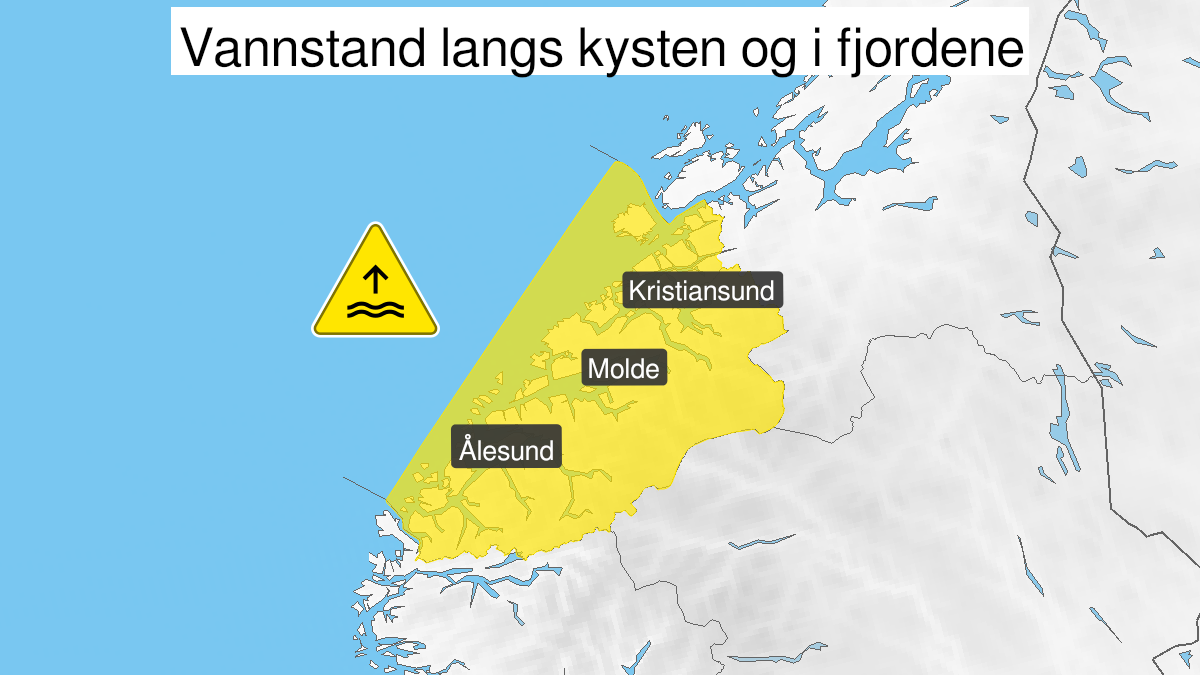
Warning from MET Norway for Møre og Romsdal
2
High water level, yellow level (MET)
Published:
Valid:
from 16.11.2020 22:00
to 17.11.2020 02:00
Warning
Water level at the coast and in the fjords
-
Sender: MET Norway
-
Danger ongoing: Monday, November 16, 2020, kl.10:00 PM
-
Danger decrease: Tuesday, November 17, 2020, kl. 2:00 AM
-
Certainty: Likely > 50%
Consequence
Local flooding and risk of minor damage to infrastructure and buildings in the beach zone.
Advice
Be careful in coastal areas. Check the mooring of the boat and secure objects near the water in the coastal zone.
Description
Monday evening and early Tuesday morning high water levels are expected, estimated to be 25-40 cm above the heights given in the tide tables. The water level is expected at its highest around midnight. More info regarding tides and water level at sehavniva.no