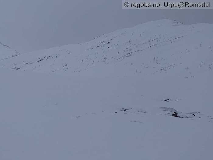
Image 1 of 7 Of: Avalanche Activity Copyright: Urpu@Romsdal Comment: Ø/nø vendt side

Image 2 of 7 Of: Snow Cover Copyright: Urpu@Romsdal Comment: Vestvendt bratt fjellside
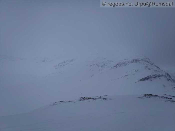
Image 3 of 7 Of: Snow Cover Copyright: Urpu@Romsdal Comment: Nordvendt side
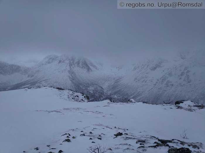
Image 4 of 7 Of: Snow Cover Copyright: Urpu@Romsdal Comment: Mot Kvanndalen
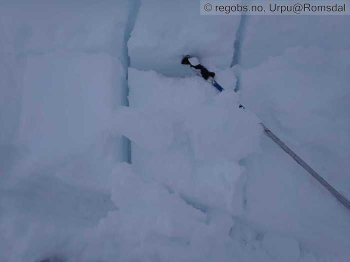
Image 5 of 7 Of: Avalanche Problems Copyright: Urpu@Romsdal Comment: Ikke tydelig flak akkurat her men tørr lag av nedføyket nysnø svikter når øverste laget blir våt.
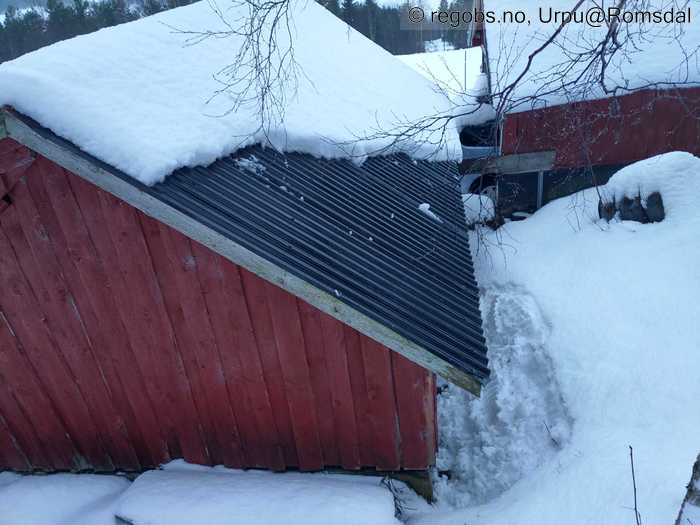
Image 6 of 7 Of: Avalanche Danger Assessment Copyright: Urpu@Romsdal Comment: Væromslag i dag på søndag
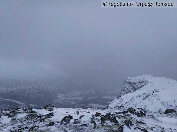
Image 7 of 7 Of: Avalanche Danger Assessment Copyright: Urpu@Romsdal Comment: Ble tettere regnvær til ettermiddag.
Avalanche Activity
• 5. Jan. During the day (+01:00) • Loose wet avalanche • Few (2-5). 1 - Small. Spontaneous release • Many steep slopes. NE, E • Litt begrensa sikt idag men så ihvertfall 3stk skred og flere snøruller øst/nordøstvendt
Snow Cover
• 80 cm • Moderate snow drift • 10 cm • Elevation of new snow 1000 masl. Snow line at 0 masl • Wet loose snow • Wet • Snøsmelting er i gang igjen. Siste snøen som kom natt til søndag ser ut til å ha komt med lite vind, men er nå blitt vått i overflaten ihvertfall til ca.10-1100, kanskje høgare opp også nå ila ettermiddag. De ca.30-40 cm snø fra fredag&lørdag holder på å synke sammen og bli gjennomvåt. Forventer bra drenering gjennom hele snødekke da jeg har ikke observert noen markante skarelag på lenge. Det er mest snø i leheng og andre formasjoner som søkk etc som samler snø.
Tests
• LBT@16cm(Q3) • Svikter med middels. Laget over holder på å bli våt.
Snow Profile
• Det var +2'c i lufta. Fra ca.800 NØ. • 5 Stratigraphy layers • 6 temperature points observed
Avalanche Problems
• Wet slab avalanche • Buried weak layer of new snow • Within half a meter • The overlying slab is soft. • Easy to trigger • 2 - Medium • Many steep slopes N, NE, E, SE, S, SW, W, NW below 1200 masl • Også tørre skred i høyden. Det kan gått hende at skredene går ikke nå med en gang men litt etterhvert når regn og varme når dypere i snødekke og høgare opp. Også løssnøskred.
Avalanche Danger Assessment
• Det var en bløt dag til fjells idag på søndag med ganske ordentlig regn opp til ca.1000 . Væromslag nå og snøsmeltingen er i gang igjen. Så noen ferske skred og flere snøruller i bratter. Snøen fra fredag og lørdag holder på å bli våt og synker sammen. Over ca.11-1200 er det nok fortsatt tørre forhold men vi får se om det blir så varmt som meldt til mandag. Str 2 skred i mange heng , eller str 3 i noen nå . Så da blir det jo fg 3 . • Holder seg nok på 3 en dag til. • 3 Considerable • Forecast correct • Bra beskrivelse.

