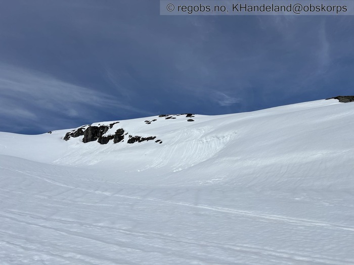
Image 1 of 11 Of: Avalanche Activity Copyright: KHandeland@obskorps
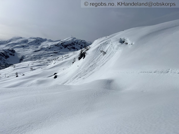
Image 2 of 11 Of: Avalanche Activity Copyright: KHandeland@obskorps
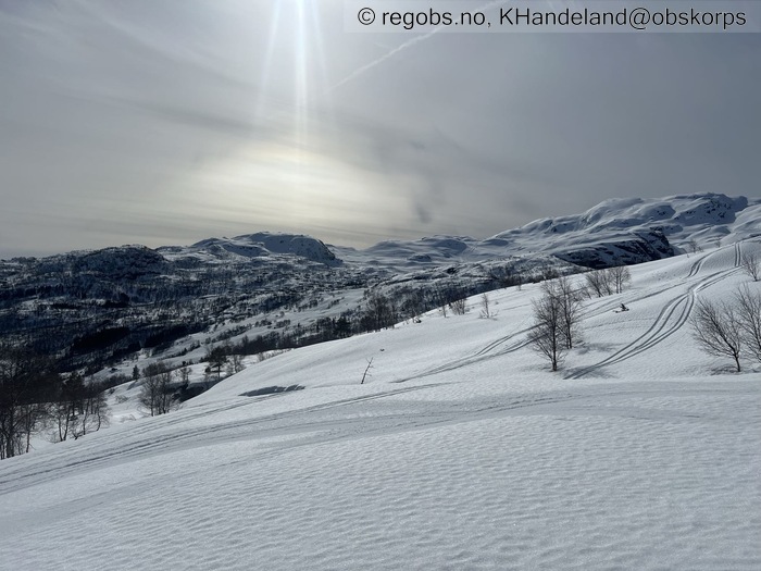
Image 3 of 11 Of: Weather Copyright: KHandeland@obskorps
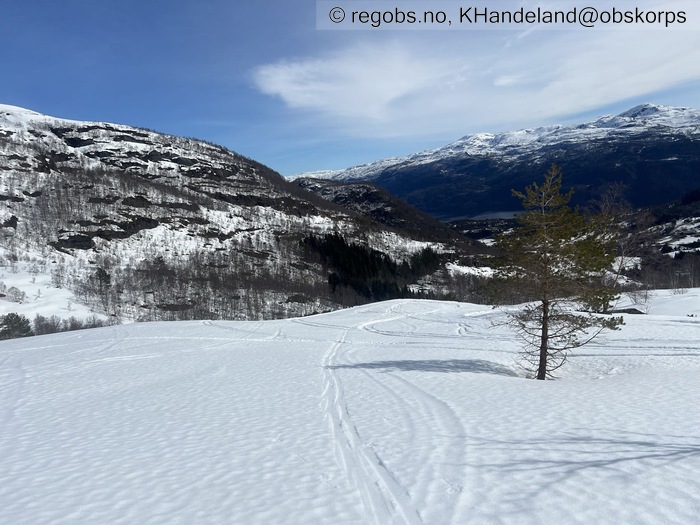
Image 4 of 11 Of: Weather Copyright: KHandeland@obskorps
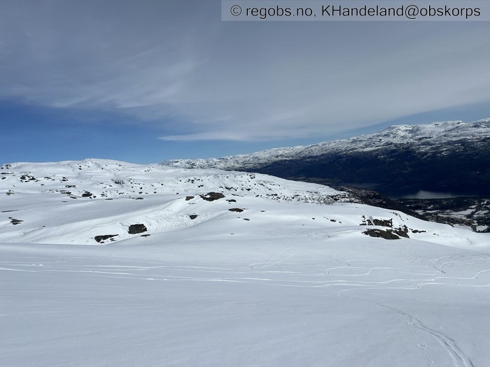
Image 5 of 11 Of: Weather Copyright: KHandeland@obskorps
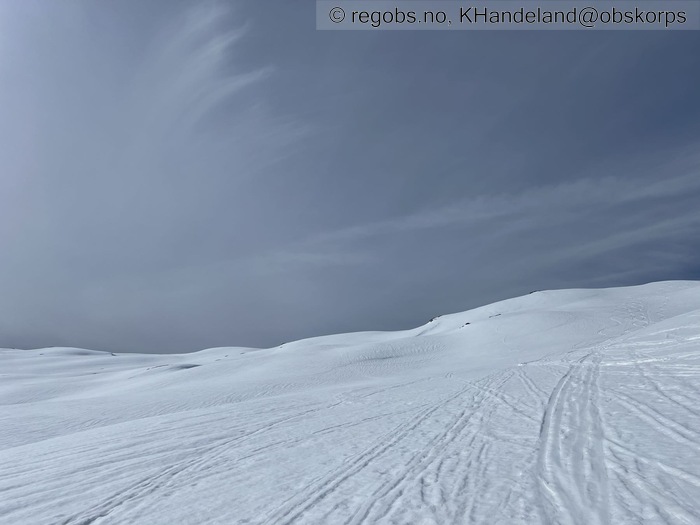
Image 6 of 11 Of: Snow Cover Copyright: KHandeland@obskorps
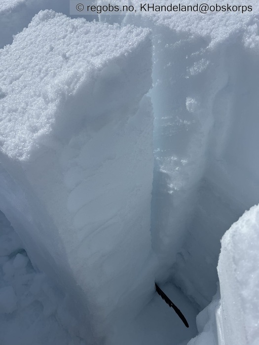
Image 7 of 11 Of: Tests Copyright: KHandeland@obskorps Comment: LBT
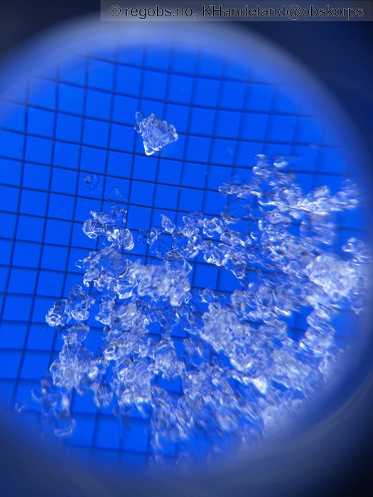
Image 8 of 11 Of: Tests Copyright: KHandeland@obskorps Comment: Avrunda kant i LBT brudd.
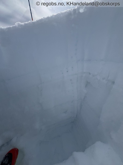
Image 9 of 11 Of: Snow Profile Copyright: KHandeland@obskorps
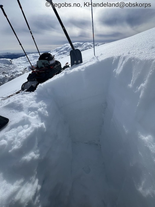
Image 10 of 11 Of: Snow Profile Copyright: KHandeland@obskorps
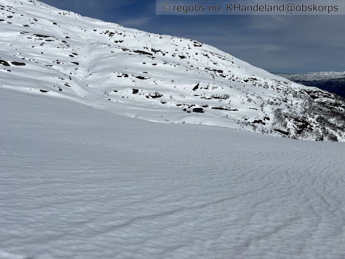
Image 11 of 11 Of: Snow Cover Copyright: KHandeland@obskorps Comment: Dreneringsriller i overflaten.
Danger Sign
• No signs observed • Område: Generelt på fjellet. Beskrivelse: Ingen faretegn å sjå, ikkje ferske laussnøskred ein gong. Har gått tur opp hovedsakelig østvendt, så eg antar at sola tek ein del meir i sør, sørvest. Eg starta turen ca 12:00.
Avalanche Activity
• 1. Apr. During the day • No avalanche activity • Kun eldre små våte laussnøskred i bratte heng.
Weather
• No precipitation • 6.2 °C • 3 m/s from E ← • 20% clouds • Første obs uten jakke på!
Snow Cover
• 150 cm • No snowdrift • 0 cm • Wet loose snow • Wet • Very Good • Stabilt og godt snødekke, lett å gå. Kjenner det frøys på i natt, for å så tine noe igjen utpå dagen. Hadde forventet det skulle være enda mjukare enn det var, med tanke på både kor godt sola sto på, samt kor mildt det er ute. På 600-700 meter er det et stykke med laus snø heilt i topplaget, så et lag med skare og deretter våtare laussnø under. Ein merka det helst på vegen opp, på nedfarten fløyt eg berre rett forbi. Oppe i høgda er det finast forhold. Godt lag med relativt kompakt snø øverst som bærer godt.
Tests
• LBT@84cm(Q3) • Hard belastning, spor av avrunda kant i bruddet.
Snow Profile
• E • 20° • Persistent weak layer: below slab, near surface
Avalanche Problems
• Loose wet avalanche • Loose snow • Easy to trigger • 1 - Small • Few steep slopes SE, S, SW between 1000 masl and 800 masl • Gikk ikke høgare enn 900 moh, så eg har lite grunnlag for noe særlig vurdering over dette. Ut i fra som eg opplevde snøen i dag, var det mest laust lengre nede enn høyt oppe. Men korleis det faktisk er over 1000 moh no veit eg ikkje.
Avalanche Danger Assessment
• Eg synes det er godt formulert i dagens skredvarsel - nemlig at timingen er viktig. Går ein tidlig på dagen, vil det være veldig stabilt med gode bindingar i snøen. Litt utpå dagen så mjuknar det, og før sola går ned kan ein gjerne kunne løyse ut mindre våte laussnøskred i bratte heng. For min del, så gikk turen midt på dagen. Fint å gå, stabil og god snø. Fint føre, og kjekk nedfart. Eg la med ut i nokon små, bratte heng, men fekk knapt nok bevegelse i laussnøen. Saken kan vere annleis nærmare slutten av dagen, spesielt i godt solutsatte områder. • Det er lite i snøpakken som ligg å truar, samt meldingane framøve ser tålig greie ut. Det kjeme noko ann på kor mildt det vert, og på eventuelt nedbør i form av regn. I dei kommande dagane, ser det ut til at nattefrost vil binde snøen, samt mildvær på dagane kan mjukna den opp att. Eg trur ikkje nokon særlig store øverraskelsar ligg å lurar. • 1 Low • Skredproblemet er basert på mellom. 1000-1600 moh. Eg har ikkje vært stort øve 900moh, og kan ikkje gi uttalelse om dagen skredproblem. Under 1000moh havnar eg på FG 1.

