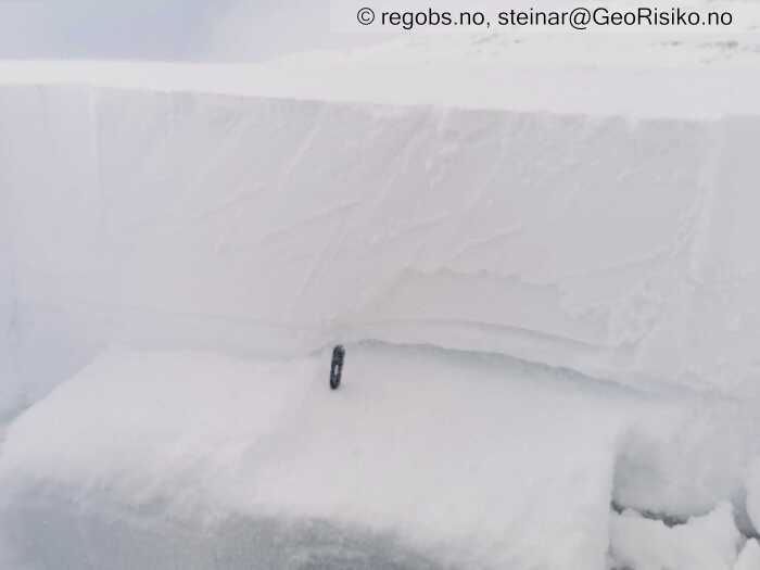
Image 1 of 6 Of: Snow Profile Copyright: steinar@GeoRisiko.no Comment: Bruddflaten ECTP11@40 Q2 på 1-2 mm MF og gammel kant. Svakt lag er fuktig, noe som merkes ved at blokka 'setter seg' ved sudden collapse. Det skjer mye i snødekket og det er vanskeleg å holde tråden, men jeg tror dette er samme kantlaget vi har observert i regionen i desember.
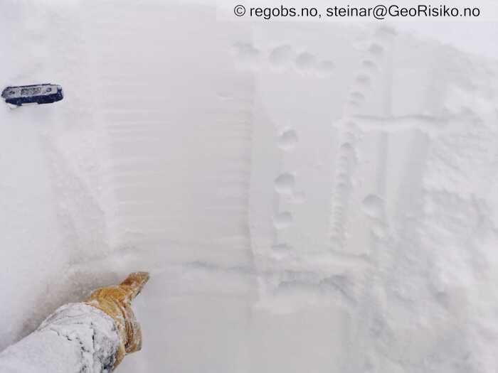
Image 2 of 6 Of: Snow Profile Copyright: steinar@GeoRisiko.no Comment: Svakt lag (gammel kant) popper ut og viser seg allerede ved utgraving.
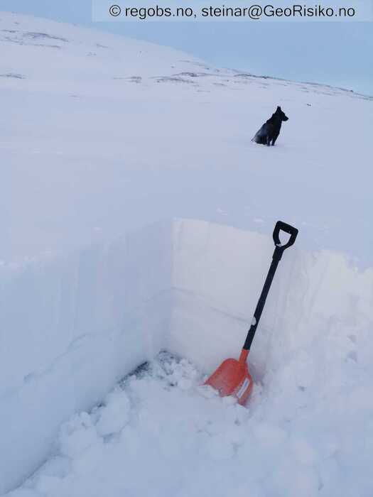
Image 3 of 6 Of: Snow Profile Copyright: steinar@GeoRisiko.no Comment: Oversiktlig og avrunda terreng, fotografert mot nord. Akkurat på dette stedet er det pålagret 20-35 cm etter helgens mildvær.
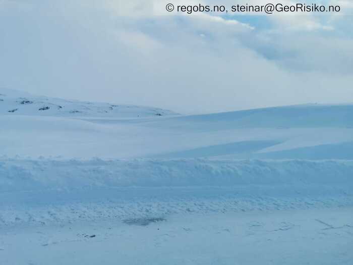
Image 4 of 6 Of: Snow Cover Copyright: steinar@GeoRisiko.no Comment: Kolonnekjøring på Vikafjellet i formiddag. Nysnømengde i terrenget fra 0 vm der avblåst på skare til 30-40 cm i lesider.
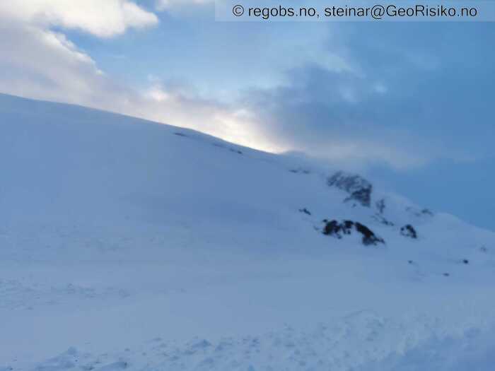
Image 5 of 6 Of: Snow Cover Copyright: steinar@GeoRisiko.no Comment: Bilde tatt mot sør. Lett snøfokk i skrenten der bak.
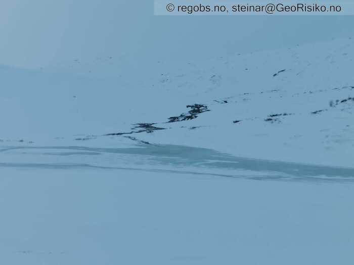
Image 6 of 6 Of: Snow Cover Copyright: steinar@GeoRisiko.no Comment: Åpne elver her og der. Her pumper elva vann over isen på Vetlavatnet 877 moh.
Avalanche Activity
• 22. Dec. During the day (+01:00) • No avalanche activity • Ikke sikt til indikatorheng. Noen eldre våte skred i Kvassdalen.
Weather
• Snow • -1 °C • 6 m/s from SW ↗ • 90% clouds • Skydekket lettet betraktelig i 11-tida. Det regnet bra på Vangen i 06-tiden. Generelt dårlig sikt.
Tests
• ECTP11@40cm(Q2) • Medium • Brudd i løst lag av fuktig smelteformer mellom skarelag. Kanting pågår.
Snow Profile
• 990 moh, sørvendt loside. Lokasjon valgt pga dette var leside for østavind for ei uke siden, og ønsket å sjekke status på kantkorn over smeltepakka. Kantlaget er fortsatt kram. • 6 Stratigraphy layers • 8 temperature points observed
Avalanche Problems
• Dry slab avalanche • Buried weak layer of new snow • Within half a meter • The collapsing weak layer is thin < 3 cm. The overlying slab is soft. • Easy to trigger • 2 - Medium • Some steep slopes N, NE, E, NW above 800 masl • Det er mildt og det kan forventes rask stabilisering i nysnøen.
Avalanche Danger Assessment
• Nysnøpålagring i kombinasjon med vind fra sør/vest er skredproblemet. Det gamle kantlaget over smeltepakka vurderer jeg som ikke aktivt pdd, fordi det nå er isolert under et nytt skarelag (vurdert ved 1000 moh. og det kan være annerledes høyere opp). Temperaturen i nysnøen er ikke kaldere enn -2,5 grader og det kan forventes at nysnøen derfor stabiliserer seg raskt, men det er likefult mulig for en skiløpet å utløse str. 2 flakskred. Skredfaregrad: høy to'er eller svak tre'er, avhengig om utbredelse er "noen" eller "mange". • 2 Moderate

