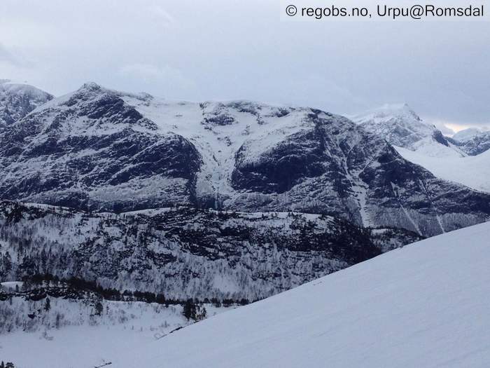
Image 1 of 8 Of: Danger Sign Copyright: Urpu@Romsdal Comment: Minst 3 skred i formasjonen der. Str 1 og 2 i alle fall.
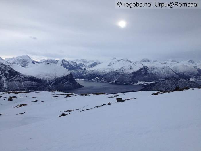
Image 2 of 8 Of: Avalanche Activity Copyright: Urpu@Romsdal Comment: Ikke sikkert en ser de på bilde men flere skred i bratte sider her.
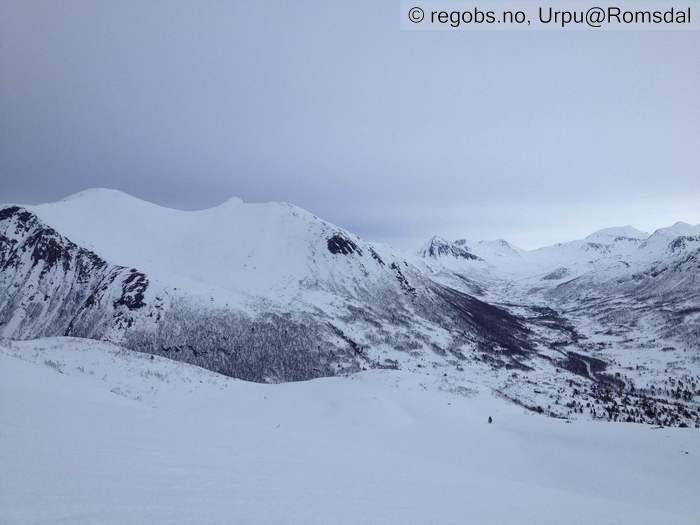
Image 3 of 8 Of: Snow Cover Copyright: Urpu@Romsdal Comment: Østover
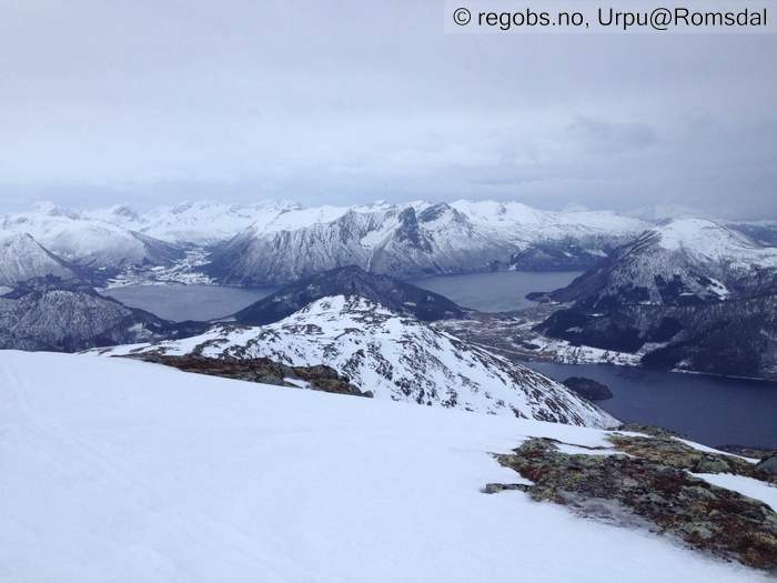
Image 4 of 8 Of: Snow Cover Copyright: Urpu@Romsdal Comment: Vestover
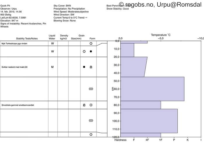
Image 5 of 8 Of: Snow Profile Copyright: Urpu@Romsdal Comment: Fra ca 950 østlig
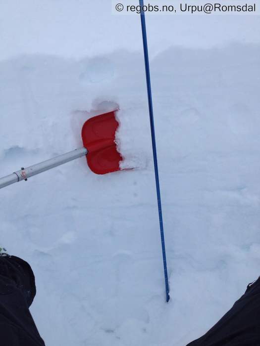
Image 6 of 8 Of: Snow Profile Copyright: Urpu@Romsdal
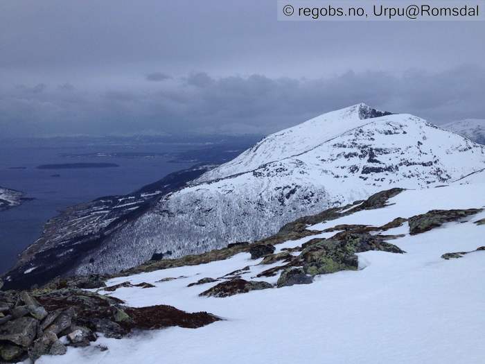
Image 7 of 8 Of: Avalanche Danger Assessment Copyright: Urpu@Romsdal Comment: Mot MOlde
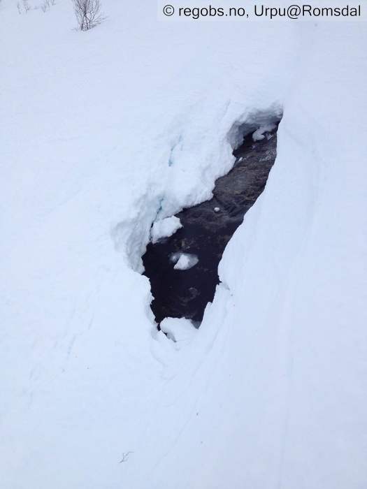
Image 8 of 8 Of: Snow Cover Copyright: Urpu@Romsdal Comment: Bekken har åpnet seg på 600, men ikke flom-mye vann
Danger Sign
• Recent avalanches • Ser det har gått flere skred i bratte fjellsider
Avalanche Activity
• 14. Feb. During the day (+01:00) • Loose wet avalanche • Few (2-5). 2 - Medium. Spontaneous release • NE, E • Det har gått flere skred, mest løssnøskred ser ut som.
Snow Cover
• 120 cm • Moderate snow drift • Snow line at 0 masl • Wet loose snow • Moist • Føyk bare over 14-1500. Gjennomfuktig snødekke i skogen , og fuktig også ned til gammel smelteomvandlet der jeg gikk i dag (ca.1000). Smelteriller til ihvertfall ca.1100. Ikke så mye vann i snøen egentlig, det har jo ikke vært så veldig mye nedbør som regn , og vinden tørker ganske effektivt. Tynn snødekke smelter nokså fort.
Tests
• @43cm(Q3) • Good • Svikter med makt. Er blitt fuktig.
Avalanche Problems
• Wet slab avalanche • Buried weak layer of faceted snow above a crust • Within a meter • A big and identifiable crystal in the weak layer. • Difficult to trigger • Possible • 2 - Medium • Some steep slopes N, NE, E, SE, S, SW, W, NW above 1000 masl • Også løssnøskred. Ikke noe tørr snø der jeg gikk i dag, men det er nok mulig med tørre flakskred over 13-14-1500.
Avalanche Danger Assessment
• Det var en vindfull dag i fjellet i dag på torsdag. Litt lunere nå i ettermiddag . Vært mye tørking pga vinden, og så har det jo egentlig ikke regnet noe særlig , så snødekke er ikke så sørpete og våt som det kanskje kunne være. Det kan dok være forskjeller i regionen. Har sett flere skredmasser fra de siste døgn. Litt usikker på om det har gått str 3 skred men det kan godt hende noen andre steder. Inntrykk av Fg 2 allereden , men kan godt være 3 i regionen som helhet. • Synker. • 2 Moderate • Forecast correct • Bra beskrivelse.

