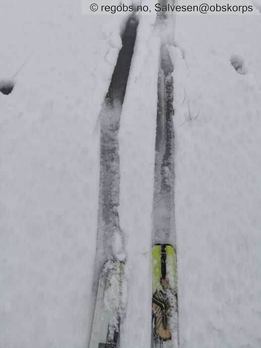
Image 1 of 14 Of: Danger Sign Copyright: Salvesen@obskorps Comment: Myrdrag på 900moh
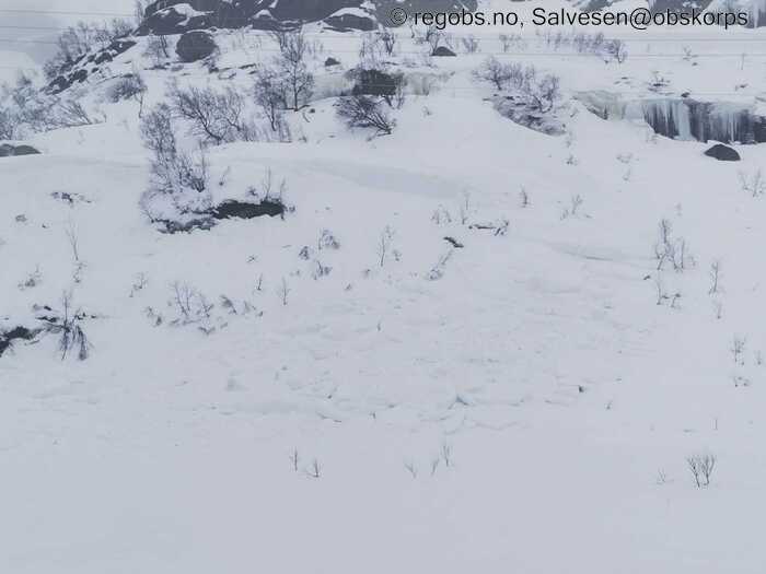
Image 2 of 14 Of: Avalanche Activity Copyright: Salvesen@obskorps Comment: 650moh. Ved Hunnevatn. Strls. 2 Nordvestvendt. Bruddkant indikerer en viss forplantningsevne.
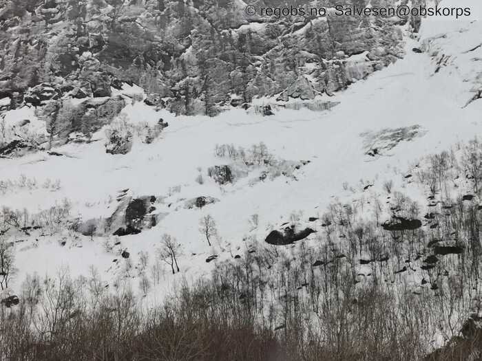
Image 3 of 14 Of: Avalanche Activity Copyright: Salvesen@obskorps Comment: 500moh vestvendt ved midstølknuten. Strls 3 alt medregnet? Lang bruddkant indikerer god forplantningsevne.
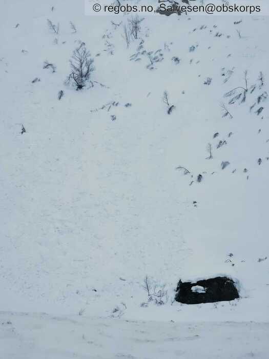
Image 4 of 14 Of: Avalanche Activity Copyright: Salvesen@obskorps Comment: 650m nordvendt ved Tveideknuden. Bruddkant utenfor bilde. Strls. 2
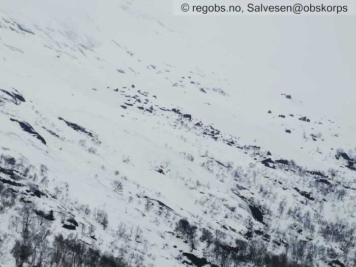
Image 5 of 14 Of: Avalanche Activity Copyright: Salvesen@obskorps Comment: Dårlig bilde, men flere skredtunger her. 600mph. Ved liloknuten. Strls 3.
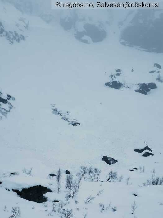
Image 6 of 14 Of: Avalanche Activity Copyright: Salvesen@obskorps Comment: Husker ikke helt hvor, men sett på Sørsiden av Hunnedalsveien.
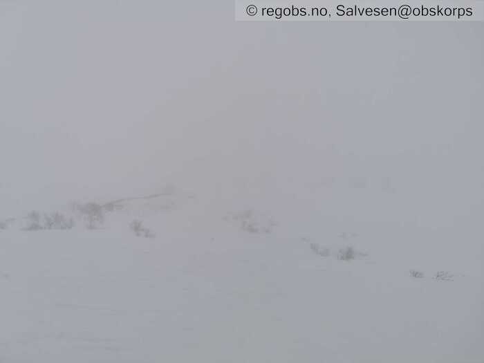
Image 7 of 14 Of: Weather Copyright: Salvesen@obskorps
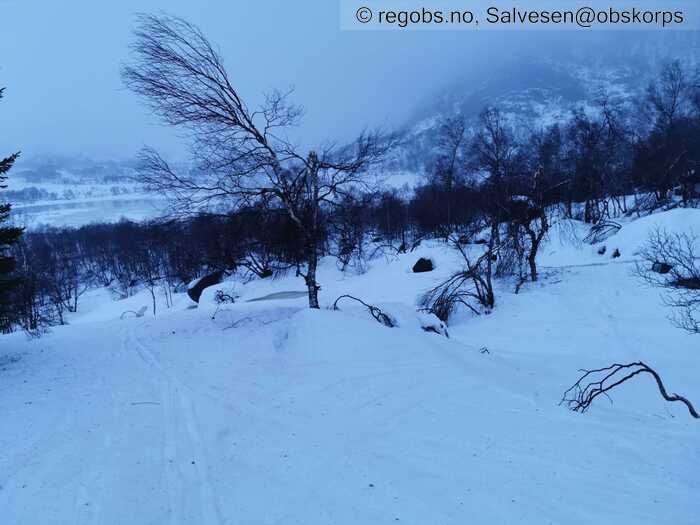
Image 8 of 14 Of: Snow Cover Copyright: Salvesen@obskorps Comment: 600moh
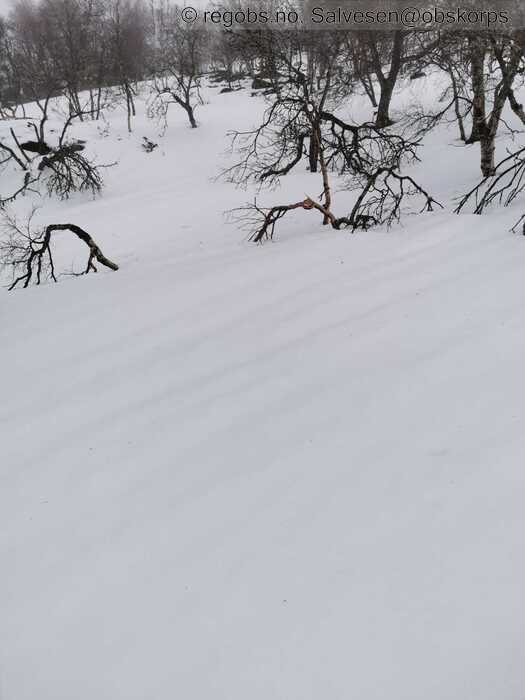
Image 9 of 14 Of: Snow Cover Copyright: Salvesen@obskorps Comment: Smelteriller 700moh.
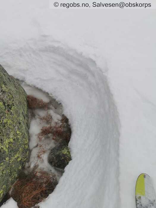
Image 10 of 14 Of: Snow Cover Copyright: Salvesen@obskorps Comment: 900moh. Pissbløtt.
Image 11 of 14 Of: Snow Cover Copyright: Salvesen@obskorps Comment: 900moh. Overvann på lite tjern.
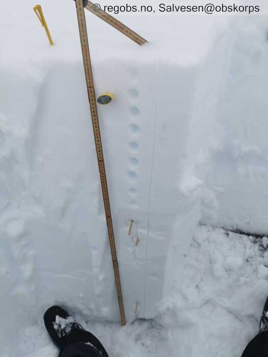
Image 12 of 14 Of: Snow Profile Copyright: Salvesen@obskorps
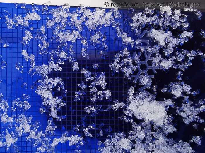
Image 13 of 14 Of: Avalanche Problems Copyright: Salvesen@obskorps Comment: Eksempel på kantkorn (FCxr) under bærende fokksnøflak på 700m. Fuktig, men drønn indikerer fortsatt respons.
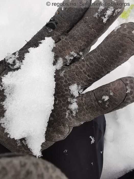
Image 14 of 14 Of: Avalanche Problems Copyright: Salvesen@obskorps Comment: Snøballfuktig FCxr der altså.
Danger Sign
• Whumpf sound • Område: I denne fjellsiden. Beskrivelse: Tynt snødekke i småskogen på 700m. Ca 20m radius. Fuktig kantkorn ved bakken som kollapser.
• Much water in the snow • Område: I dalen/fjorden. Beskrivelse: Gjenstår noe drenering selv om nedbøren har avtatt.
Avalanche Activity
• 21. Feb. 18-24 (+01:00) • Wet slab avalanche • Numerous (10 or more). 2 - Medium. Spontaneous release • Some steep slopes. N, NE, E, SE, S, SW, W, NW. Below 900 masl • Har hatt svært dårlig sikt på tur i dag, men fra veien gjennom Hunnedalen observeres en del aktivitet. Mange av disse er nok eldre enn et døgn. Ref. andre observasjoner de siste par dagene. Kombinasjon av våte løssnøskred i svært bratt lende og fuktige flakskred, antagelig ifm. gjennomfukting av kantkornlag. Mest strls. 2, men et par strls 3 også.
Weather
• Drizzle • 2 °C • 3 m/s from S ↑ • 100% clouds • Tåkete, yr og rolige vindforhold.
Snow Cover
• 50 cm • No snowdrift • 0 cm • Snow line at 400 masl. Layered snow begins at 400 masl • Wet loose snow • Wet • Fuktig til vått sugende snødekke av varierende hardhet. Stedvis pill råttent i skogen og på tynt snødekke ellers bærende fuktig eldre fokksnø. Isotermt snødekke kan nå bekreftes til 1000moh. Trolig til topps i denne delen av regionen.
Snow Profile
• Kjedelig profil, kompakt snødekke på denne høyden, men primære hensikt var altså å sjekke temperatur. • Persistent weak layer: below slab • 12 temperature points observed
Avalanche Problems
• Wet slab avalanche • Buried weak layer of faceted snow near surface • Within a meter • The weak layer collapses easily and clean (easy propagation). A big and identifiable crystal in the weak layer. • Spontaneous release • 3 - Large • Some steep slopes N, NE, E, SE, S, SW, W, NW below 900 masl
Avalanche Danger Assessment
• Svekkede bindinger i snødekket etter en periode med omfattende mildvær og nedbør som regn høyt til fjells. Mange skred har gått naturlig allerede og aktiviteten vil trolig avta etter hvert som første gjennomfukting overstås. Skiløperutløste drønn under tregrensen på tur i dag indikerer at kantkorn fortsatt er aktivt. • Minkende fare etter hvert som første gjennomfukting nå overstås. • 3 Considerable • Forecast correct • Høy gjenkjenning i varselet på tur i dag. For øvrig ingen antydning til å nærme seg mildværsgrensen der jeg snudde på 1000m i dag.

